Telecom > Surveys
Smart surveying is critical to successful engineering of fiber optic networks
From clean data to on-site reality
Once the data is cleaned, surveys make sure it holds up in the real world. They help to verify surface types, count living units and assess whether fiber can be installed underground and aerially. When this information is missing or wrong, it leads to delays, rework and unnecessary extra costs. Surveys ensure that assumptions are checked before they turn into design decisions — so your rollout proceeds with fewer surprises and more control.
Faster surveys, fewer costs
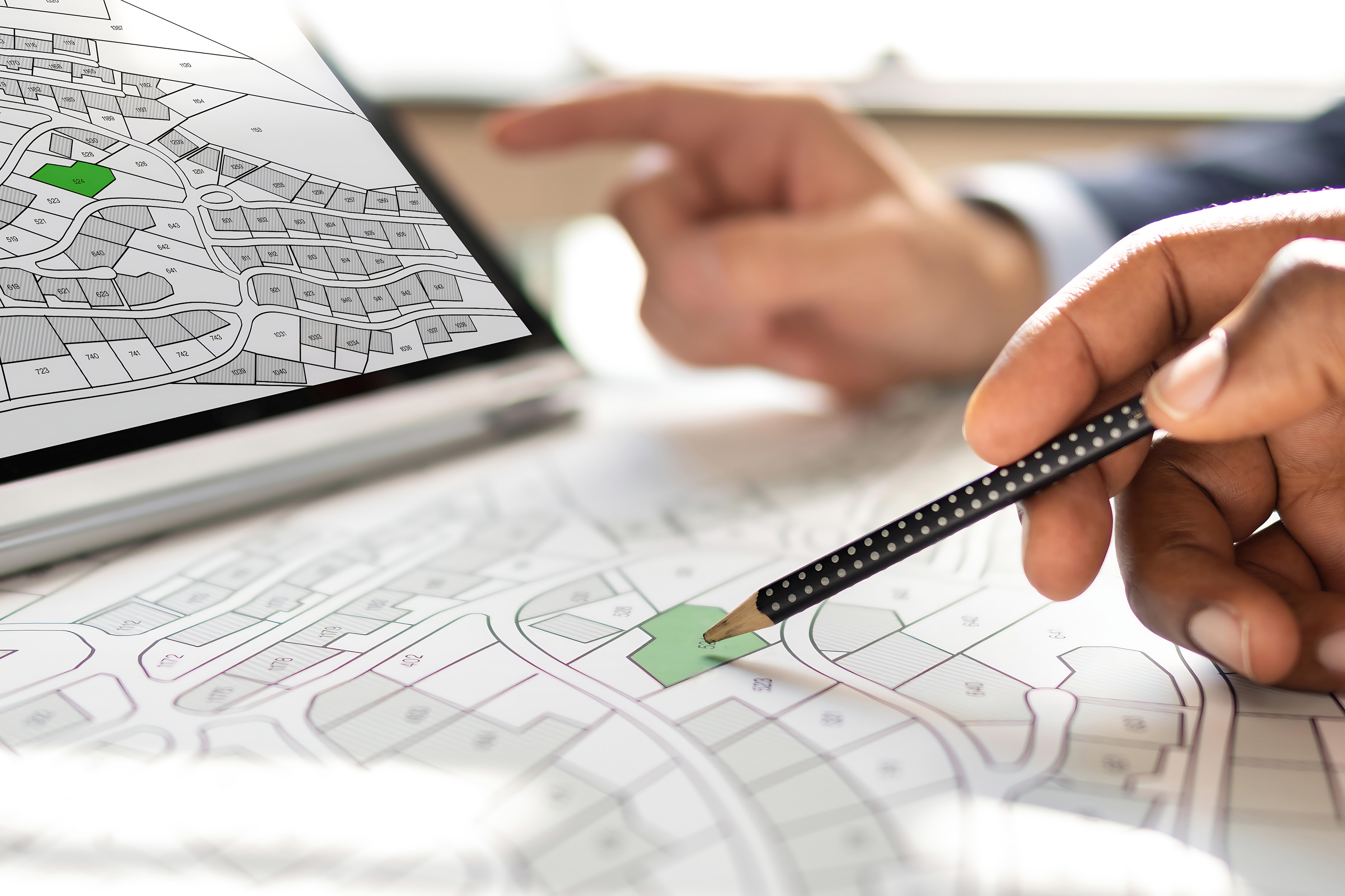
Heta focuses on desktop surveys by default, using high-quality input data, up-to-date maps and multiple trusted sources. This keeps costs down and speeds up the process. If anything looks unclear or inconsistent, we send in a field team with a focused task. Not for weeks of surveying, but for targeted checks where it really matters. The result: faster surveys, better designs and more cost-efficient rollouts.
Our innovative data processing saves you costs and time
The smarter we are behind the screen, the less we need to go out on the street
The two types of surveys and how we use them

01 Deskop survey
We start with a desktop survey to validate the rollout area. Using high quality maps, partner datasets and aerial imagery, our teams identify existing infrastructure, tricky intersections and hard to reach zones. All without setting foot on site. These verified sources give us early insights and help to avoid costly surprises later on.

02 Street survey
If needed, we follow up with a focused street survey. Not as the default, but only when specific details require it. Our teams assess the physical terrain, building facades and subsurface infrastructure to determine the smartest way to route fiber. The goal: minimal time on site, maximum clarity for design.
The secret to smart and efficient surveying
Innovative tools and partnerships
We work with trusted partners who capture high-quality data, using scanning vehicles, helicopters, drones, GPS and other geographic information systems. These technologies give us up-to-date insights and help speed up the survey process without compromising on accuracy.
